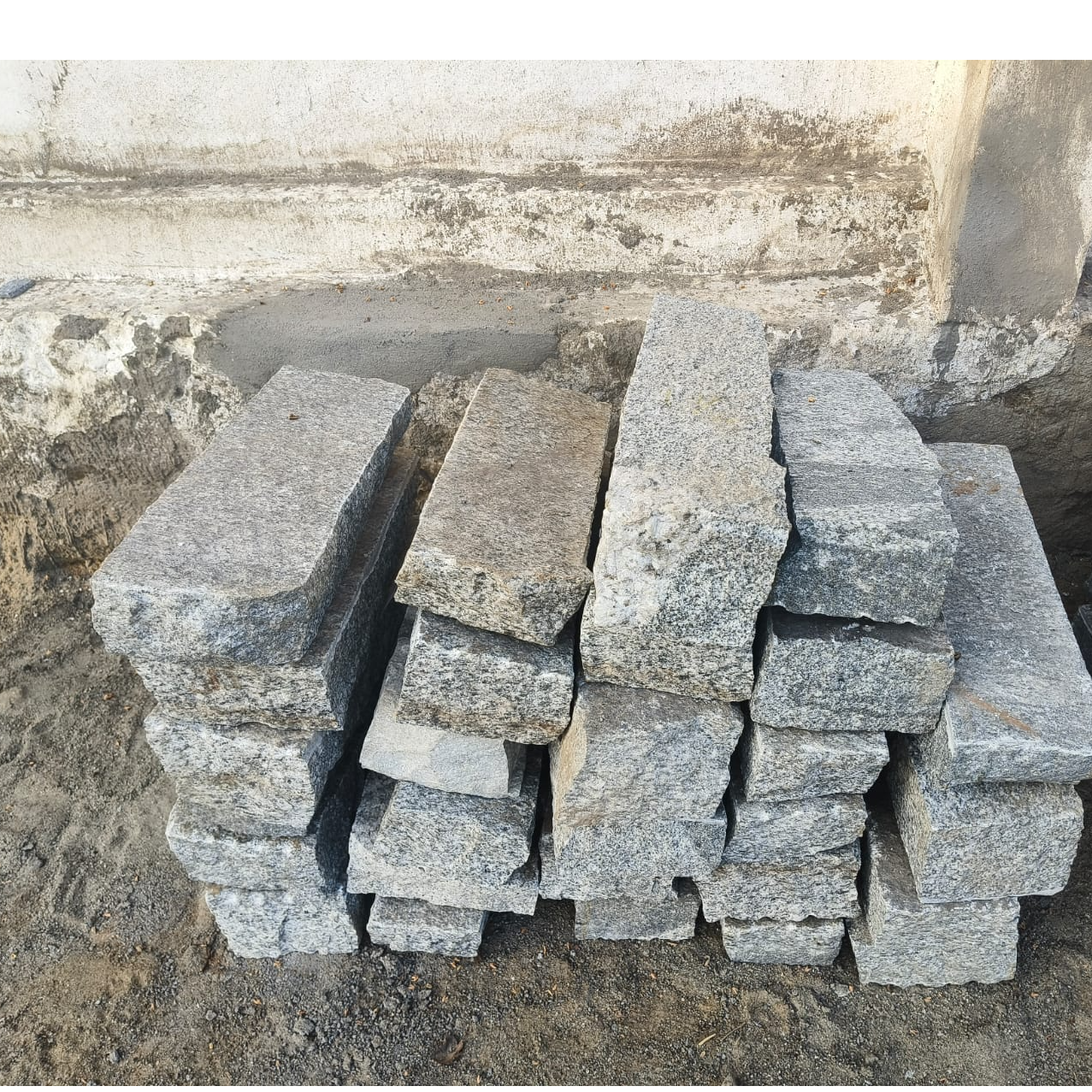
Survey stone 2 ft
A survey stone is a durable stone or concrete marker placed on the ground to mark fixed reference points or property boundaries during land surveying. It helps ensure accurate measurements and provides a permanent point for future identification and verification of land limits.
- CATEGORY: Precast Products
- SUB CATEGORY: Survey stone
- Description
Description
Description
A survey stone is an essential physical marker used in land surveying to establish, identify, and preserve fixed reference points on the ground. It plays a vital role in defining property boundaries, plotting land divisions, supporting construction layouts, and maintaining accurate records of land measurements over long periods of time. Though simple in appearance, a survey stone is a foundational element in land management, civil engineering, and legal land documentation.
Definition and Purpose
A survey stone is a durable stone or concrete block placed at a specific point on the ground to mark an exact surveyed location. These locations may include property corners, boundary lines, control points, benchmarks, or reference points used during surveying activities. The primary purpose of a survey stone is to provide a permanent, visible, and reliable marker that ensures consistency and accuracy in land measurements over time.
Survey stones help prevent boundary disputes by clearly indicating where one property ends and another begins. They also allow surveyors, engineers, and authorities to re-establish measurements accurately even years after the original survey was conducted.
Materials and Construction
Traditionally, survey stones were made from natural stone, such as granite or other hard rock, due to their strength and resistance to weathering. In modern practice, survey stones are often made from concrete, sometimes reinforced with metal rods to increase stability and durability.
Survey stones are usually rectangular or square in shape and vary in size depending on their purpose. Some stones may have engraved markings, symbols, numbers, or survey references on the top surface. In certain cases, a metal plate, nail, or bolt may be embedded in the stone to indicate the exact survey point.
Placement and Installation
The placement of a survey stone is carried out with precision by trained surveyors using measuring instruments such as total stations, GPS equipment, or theodolites. Once the exact point is identified, the survey stone is embedded firmly into the ground so that it remains stable and unmoved over time.
Survey stones are often installed:
-
At the corners of land parcels
-
Along boundary lines
-
At road alignments
-
At construction reference points
-
As benchmarks for elevation measurements
Proper installation ensures the stone remains visible but secure, resistant to movement caused by weather, erosion, or human activity.
Role in Land Surveying
In land surveying, accuracy is critical, and survey stones serve as ground truth references. They allow surveyors to verify measurements, reconnect survey lines, and confirm boundary positions. When land is subdivided, sold, or developed, survey stones provide physical proof of surveyed boundaries that align with official land records and maps.
Survey stones are also used in topographic surveys, where they help establish control points for mapping land features such as elevations, slopes, and contours.
Legal and Administrative Importance
Survey stones carry significant legal importance. In many regions, they are recognized as official boundary markers by land revenue departments, municipalities, and courts. If a dispute arises regarding property limits, the position of an original survey stone often serves as strong evidence in resolving the matter.
Tampering with, removing, or damaging a survey stone is usually considered an offense under land and property laws. This legal protection highlights the importance of survey stones in maintaining land ownership records and preventing unauthorized boundary changes.
Use in Construction and Infrastructure
Survey stones are widely used in construction projects to define building lines, road alignments, and infrastructure layouts. Engineers rely on these fixed points to ensure that structures are built in the correct location and orientation according to approved plans.
In large infrastructure projects such as highways, bridges, canals, and railways, survey stones help maintain alignment accuracy across long distances. They act as reference points throughout the construction process, ensuring consistency from start to finish.
Durability and Maintenance
One of the key characteristics of a survey stone is its long-term durability. Designed to withstand harsh environmental conditions, survey stones resist rain, heat, soil pressure, and erosion. Natural stone and high-quality concrete ensure minimal degradation over time.
Although survey stones generally require little maintenance, periodic inspection may be necessary to ensure they remain visible and undisturbed. Overgrowth of vegetation, soil buildup, or accidental damage can sometimes obscure survey stones, making maintenance important for long-term usability.
Advantages of Survey Stones
Survey stones offer several important benefits:
-
Provide permanent and accurate land reference points
-
Help prevent boundary disputes
-
Support legal land ownership documentation
-
Enable consistent surveying over time
-
Require minimal maintenance
-
Durable and cost-effective
These advantages make survey stones an indispensable tool in land management and development.
Limitations and Challenges
Despite their usefulness, survey stones also face certain challenges. They can be displaced due to construction activity, flooding, or unauthorized removal. In urban areas, survey stones may be damaged or covered during development projects if not properly protected.
Additionally, reliance solely on physical survey stones without proper documentation can be problematic. For this reason, survey stones are always supported by survey maps, records, and coordinates stored with relevant authorities.
Modern Developments
With advancements in technology, digital surveying tools such as GPS and GIS systems are now widely used. However, survey stones remain relevant because they provide a physical reference point that complements digital data. Even in modern surveys, physical markers like survey stones are essential for validating and verifying digital measurements on the ground.
Conclusion
In conclusion, a survey stone is a fundamental component of land surveying and land administration. It serves as a permanent, reliable marker that ensures accuracy, consistency, and legal clarity in defining land boundaries and reference points. From traditional land measurement practices to modern construction and infrastructure development, survey stones continue to play a crucial role. Their durability, simplicity, and legal significance make them an enduring and essential tool in the accurate management and development of land.